Nordic Open Geo Data Gathering
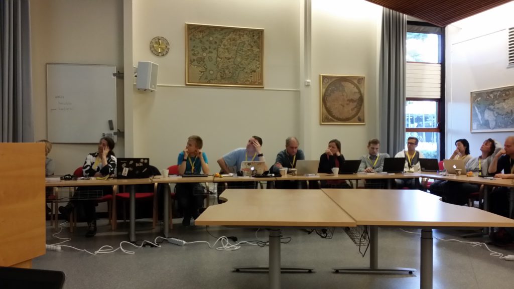
Nordic Open Geo Data Gathering participants at Norwegian mapping authority Kartverket’s headquarters in Hønefoss, Norway.
During the meeting we listened many interesting presentations as brought out in the blog post by Susanna Ånäs. She also suggested that a Wikimedia affiliate, i.e. kind of user group that is focused on mapping related activities in Wikimedia would be founded. There was also discussion on people’s interests that Susanna collected to the meeting notes.
#hack4no
I and some other Nordic Open Geo Data Gathering participants stayed a bit longer in Hønefoss to join #hack4no. Many applications were published in the hackathon and all the submissions can be found at hack4no2016.devpost.com. I and Jon Harald Søby from Wikimedia Norge submitted the WikiOSMark application. Thank you again for the Wikistipend by Wikimedia Norge that made this possible.
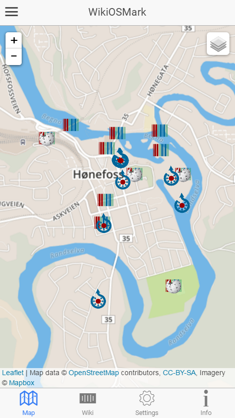
WikiOSMark app with Wikimedia items on the map.
Tha main idea of the application is to enrich Wikimedia with OpenStreetMap and vice versa. For example, the aim is to allow users to add Wikidata tags to the OpenStreetMap elements. Also, adding coordinates, for example, to Wikidata items is useful. For the prototype application, Wikimedia and OpenStreetMap test sites are used. Also, user can choose to view other open data from various Nordic countries such as from platsr.se, apis.is and Flickr on the map. This information is also useful when doing the OpenStreetMap and Wikimedia edits. Finally, the application can show Wheelmap.org places. Wheelmap.org helps to add information of wheelchair accessibility to OpenStreetMap. While editing OpenStreetMap and Wikimedia, why not consider also disabled people?
To mention some other work, Vahur Puik from Estonia submitted an “AI tool to filter out indoor and outdoor images from public digital photographic collections” that is meant to be used, for example with Sift.pics application. There were also many other maps related submissions.
All in all interesting events!